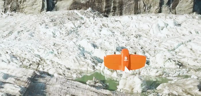
Climate researchers in Alaska are using drones to help track ice and water levels in the Suicide Basin glacial lake. The team, led by Gabriel Wolken, research professor at the University of Alaska Fairbanks Climate Adaptation Science Center, is working to visualize and predict seasonal flux at the glacial lake. It looks at how water interacts with the Mendenhall Glacier, which was once connected to Suicide Glacier before rising temperatures separated them. When basin waters rise to a point, Mendenhall Glacier can no longer hold them and the entire basin drains, causing flash floods. The team is using orthophoto and digital elevation models from a WingtraOne drone to assess changes to water and ice levels at Suicide Basin. Read more...


